

Quick answer: For an easy coastal walk without a car, start on the east coast around Gangneung and Jeongdongjin, then try single sections of the Haeparang trail. Check wind and weather first, because boardwalks can close, and check the last bus before you set out.

Why the east coast
Korea has long coastlines, but many beaches and paths are easier with a car. The Gangneung area is a good starting point for visitors without one. Trains reach the coast, and short seaside paths are close to stations. This guide avoids Busan and Jeju, which have their own pages, including a slow day in Jeju and Busan in 2 days.
Routes worth knowing
The details below come from tourism and news pages. I could not open every official page, so confirm the status of each path before you go.
| Route | Character | Getting there | Check |
|---|---|---|---|
| Jeongdong-Simgok Badabuchae-gil (Gangneung) | About 2.86 km seaside cliff boardwalk, around one hour one way, according to the Korea Times | Train to Jeongdongjin, then walk | Wind or rain closures; photography of military posts is prohibited |
| Jeongdongjin beach and station | Short beach walk, about 3 minutes from the station per VisitKorea | Train from Seoul, around 105 minutes per the Korea Times | Swimming is banned outside the season and at night |
| Anmok beach and cafe street (Gangneung) | Flat, easy seaside walk with cafes | About 15 minutes from Gangneung station by city bus or taxi | Buses can run about hourly |
| Haeparang-gil (East Coast trail) | Around 750 km in 50 routes from Busan to Goseong; walk one section at a time | Varies by section; use a trail app and map app | Signage can be sparse; wear shoes for sand and mixed surfaces |
Local tip: Walk a single Haeparang section, not the whole trail. Korean walkers pick one course, check the start and end by public transport, and use the trail app to follow the markers.

Weather, tides and safety
Coastal weather changes quickly. Boardwalks like Jeongdong-Simgok can close in strong wind, high waves or heavy rain, according to a 2020 Korea Stripes piece and a 2026 travel blog. These cautions, and the general advice below, are common sense and local practice, not rules from an official page I opened.
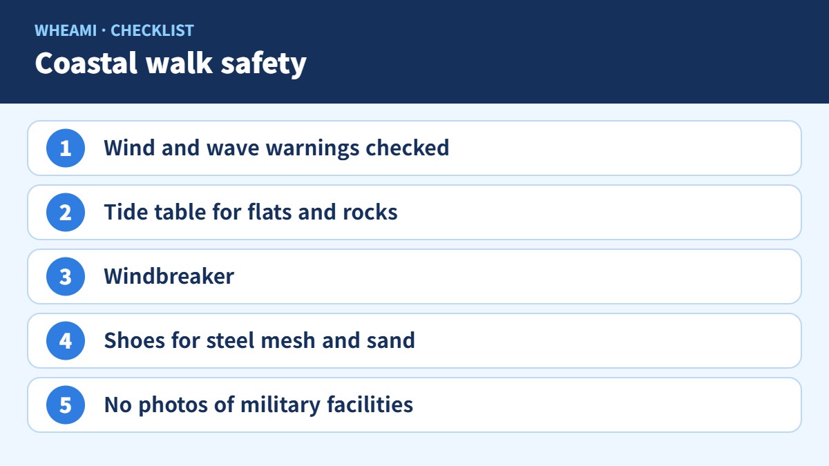
- Check the Korea Meteorological Administration for wind and wave warnings before you leave.
- If you walk on tidal flats or rocks, look up the tide table. Koreans search for 물때 (tide times).
- Leave tidal areas well before the high tide.
- Bring a windbreaker, since coastal wind feels colder than inland.
- Do not photograph or post military facilities along the path.
Local tip: Look at the last bus time before you start the walk, not at the end. In small coastal towns, buses can run about once an hour, and a missed one can mean a long wait or a taxi that has to be called.
A simple day in Gangneung
A relaxed plan: take the morning train to the coast, walk the Jeongdong-Simgok path if the weather allows, then move to Anmok for a cafe and a beach stroll. Return by the evening train, with the last transport checked in the morning. Plan for heat in summer and strong wind in winter. A first-person blog from July 2024 said local buses were infrequent and the heat was the main complaint. For wider season planning, see the best time to visit Korea and our travel checklist.
Useful phrases
Helpful at bus stops, trailheads and shops.
| Korean | Pronunciation | Meaning |
|---|---|---|
| 막차 몇 시예요? | makcha myeot siyeyo | What time is the last bus? |
| 이 길로 가면 바다 나와요? | i gillo gamyeon bada nawayo | Does this road lead to the sea? |
| 파도 높아요? | pado nopayo | Are the waves high? |
| 오늘 바람 많이 불어요? | oneul baram mani bureoyo | Is it very windy today? |
| 산책로 열려 있어요? | sanchaengno yeollyeo isseoyo | Is the walking trail open? |
| 버스 정류장 어디예요? | beoseu jeongnyujang eodiyeyo | Where is the bus stop? |
Search word for your map app: 해안 산책로, 해파랑길, 바다부채길

What visitors report
I found three accounts, none from Reddit. One author drove, so treat the transport details with caution.
- In July 2024, a solo traveler wrote about a Gangneung coffee trip. The KTX took about two hours, she boarded a wrong train at first, local buses ran about hourly, and heat was the main complaint.
- In August 2026, a travel blog described the Jeongdong-Simgok path in summer heat. The path turns to steel mesh in places, so shoes matter, there is one restroom at the start, and entry may be restricted in wind or heavy rain. The author drove.
- A student blog (undated) described a Haeparang section near Pohang, where locals welcomed a foreign group warmly.
The local view
Koreans see coastal walks as a short outing: a train or bus to the sea, a walk, seafood or a cafe, and home. They check the weather and the tide table, and many use the Durunubi trail app for sections of the Haeparang trail. A common tip is to check the wind, because sunny weather can still close a boardwalk. Another is to walk one section at a time and use public transport at both ends.
Local tip: Search 해안 산책로 or 둘레길 in Naver Map or Kakao Map, then read recent photo reviews. Local reviewers often mention closures, mud, wind and the real walking time, which official pages leave out.

FAQ
Can I do Korean coastal walks without a car? Yes for places near train stations, such as Jeongdongjin and Anmok. Check the last bus first.
Is the Haeparang trail suitable for visitors? Walk individual sections rather than the whole trail, and expect mixed surfaces and sparse signs in places.
When do the paths close? Boardwalks may close in strong wind, high waves or heavy rain. Check weather and local notices.
Is it safe to swim? Swimming is banned at some beaches outside the official season and at night. Follow local signs.